
Confirm Your Participation
Please confirm your attendance for Working with Ocean Data in the Cloud: Marine Spatial Planning Edition. This confirms your spot in the course running 27 August – 30 October 2026.
Online Course
South America's coastal and marine territories are among the most bio-diverse in the world. As countries across the region advance their marine spatial planning agendas, the need for skilled practitioners who can access, manage, and use ocean data is more urgent than ever.
This online training course gives you the tools and hands-on practice to work with spatial ocean data in the context of real ocean governance challenges.
What you will learn
Access and explore ocean datasets on the Ocean Data Platform (ODP)
Analyze spatial data using Python, R, or GIS tools
Design and evaluate marine spatial planning scenarios in SeaSketch
Apply AI-assisted coding tools to support your workflow
Complete a capstone project using real data from your region
Format
Fully online. The course combines self-paced modules with live check-in sessions. Starting 27 August 2026.
Course Structure
27 August – 30 October 2026 over 9 weeks. Each module combines self-paced learning with a live online check-in session. Expect roughly 3–4 hours per week.
Introduction Meetup (Live session 27 Aug)
Module 1: MSP and Ocean Data in the Cloud (Live session 3 Sep)
Module 2: Analyse (Live session 17 Sep)
Module 3: Plan with SeaSketch (Live session 8 Oct)
Module 4: Capstone Project (Live session 22 Oct)
Final Presentations (Live session 29 Oct)
Certificate
Participants who complete the course receive a certificate signed by UFSC, HUB Ocean, and SeaSketch.
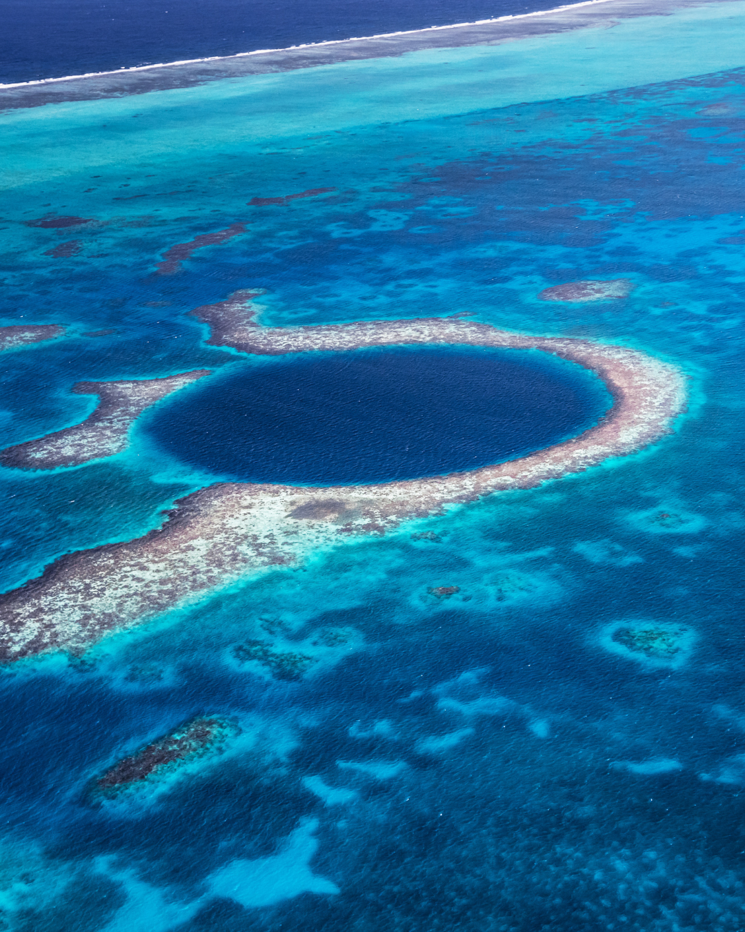
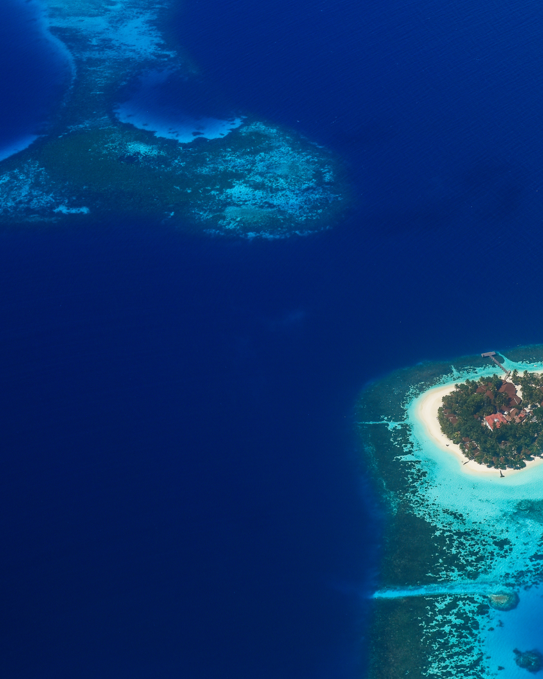
Photos by Faik Akmd from Pexels (previous section) and Asad Photos (this section)