
Introduction to
Working with Ocean Data
in the Cloud
A free online course from HUB Ocean, WIOMSA, and SeaSketch.
9 November to 10 December 2026
Find and explore ocean data, upload your own and share with your team,
access the data in your local GIS or work through code,
and get to know SeaSketch, a marine planning tool.
Applications for this course close on 9 November.
In a nutshell
The course consists of four short modules, combining hands-on exercises with teamwork in small groups alongside other participants.
It is open to anyone interested in working with ocean data from the Western Indian Ocean region.
This course is jointly developed by HUB Ocean, WIOMSA, and Seasketch. ODP Academy is a learning platform for the course, with adapted learning materials and a focus on ocean data and applications relevant to the Western Indian Ocean.
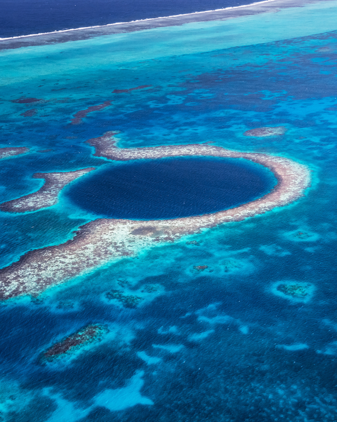
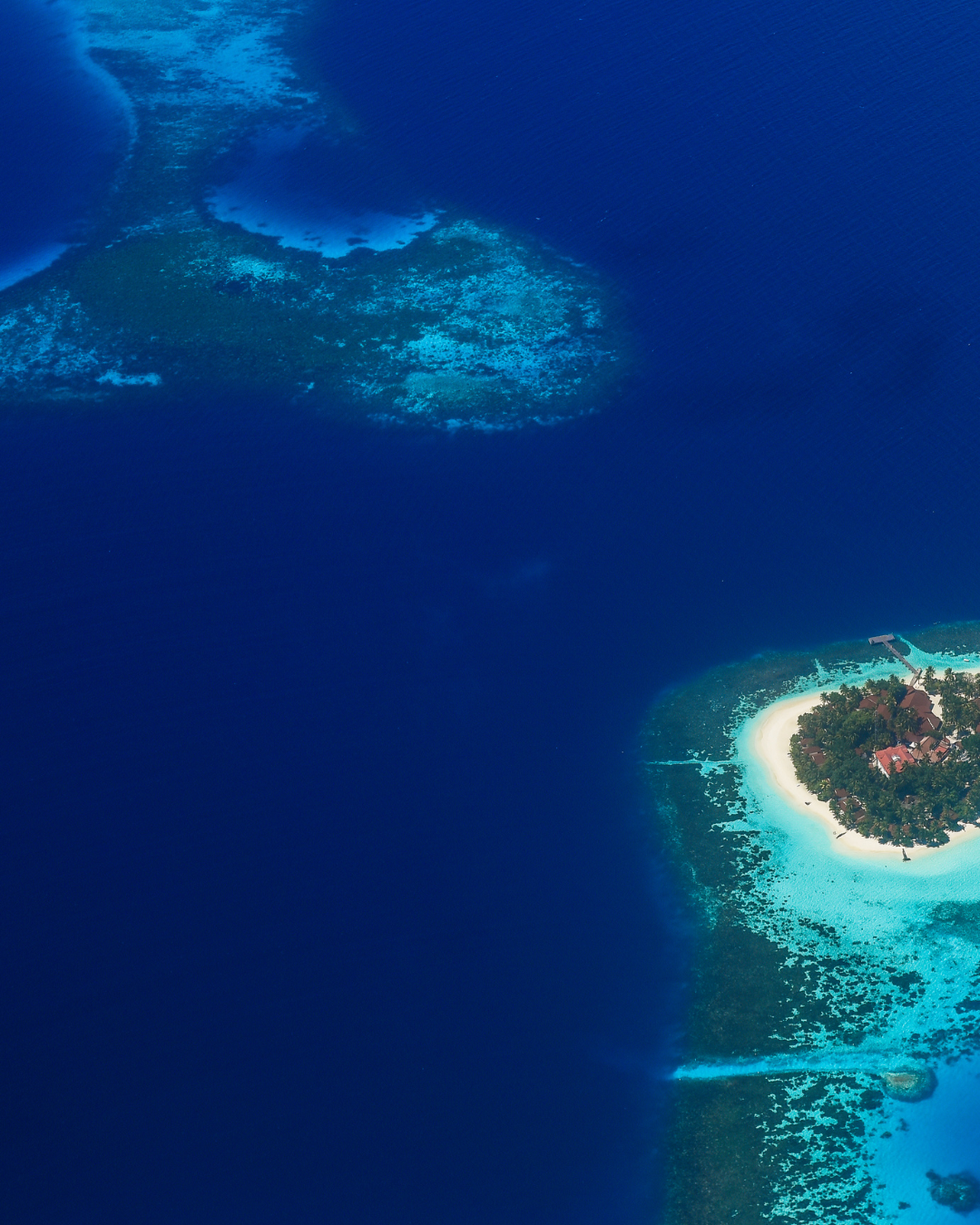
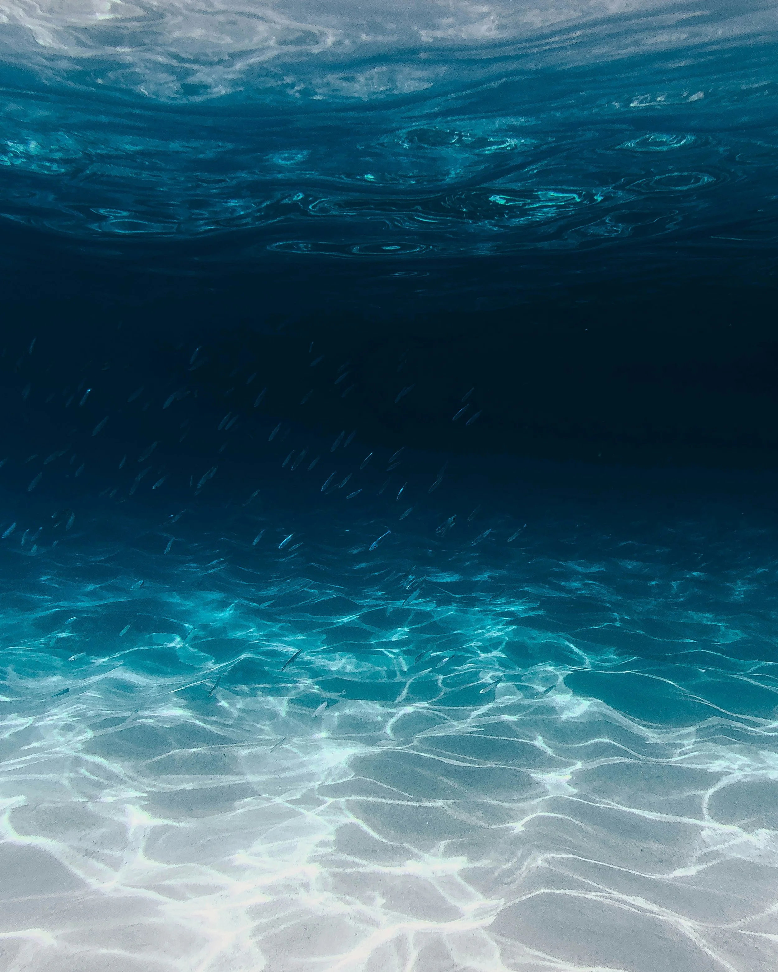
The Western Indian Ocean is a strategically important region, characterized by rich marine biodiversity, diverse ecosystems, including coral reefs, mangrove forests, and seagrass meadows, as well as a complex system of ocean currents that influence regional climate and marine productivity.
It provides an important setting for studying the impacts of climate change, ocean warming and acidification, sea-level rise, coastal ecosystem degradation, and changes in fish stocks.
Practicalities
What you will learn
Access and explore ocean datasets on the Ocean Data Platform (ODP)
Introduction to data analysis with ODP using Python, R, or GIS tools
Introduction to SeaSketch and how you can connect your ODP workflow
Introduction to online group collaboration across the exercises.
Course Structure
9 November Sign up and get ready
12 November Opening webinar live session. Meet your group.
Module 1, Explore opens16 November Module 2, GIS opens
23 November Module 3, Code opens
30 November Module 4, Plan opens
10 December Closing webinar live session
Both webinars run from 12:00 to 13:30 East Africa Time (10:00 to 11:30 CET).
Format
Fully online. The course consists of self-paced modules including groupwork exercises with an introduction and closing live check-in session.
Certificate
Participants who complete the course receive a digital certificate signed by HUB Ocean and WIOMSA.
Registration Deadline: 9 November
What Others Had to Say
This introductory course builds on a comprehensive training program previously delivered by HUB Ocean in the Western Indian Ocean region.
Here's what participants had to say:
“I know I can get support whenever I need it, and I am truly excited to stay connected with the ODP team. I encourage my friends, institution, and research team to use ODP in their daily work. Ultimately, I believe I can achieve both my own ambitions and the ambitions of ODP through my commitment and effort”
“The group work component was highly valuable because it encouraged collaboration across different backgrounds and strengthened the practical application of cloud-based geospatial workflows.”
Former StudentFormer Student“The group work experience was very valuable for applying the concepts learned during the course, especially in relation to GIS, Python, and ocean data analysis.”
Former StudentGood to know
About 2 to 4 hours a week. No coding experience needed.
Open to everyone, tailored to the Western Indian Ocean.
You need a computer, an internet connection, and QGIS (free mapping software) or ArcGIS installed.
Each module has a recorded lesson and associated tasks to complete each week.
You get a certificate for each module you complete, and one for the full course.
A fully completed introduction course will help qualify you to further training opportunities in 2027
You keep your free Ocean Data Platform account after the course.
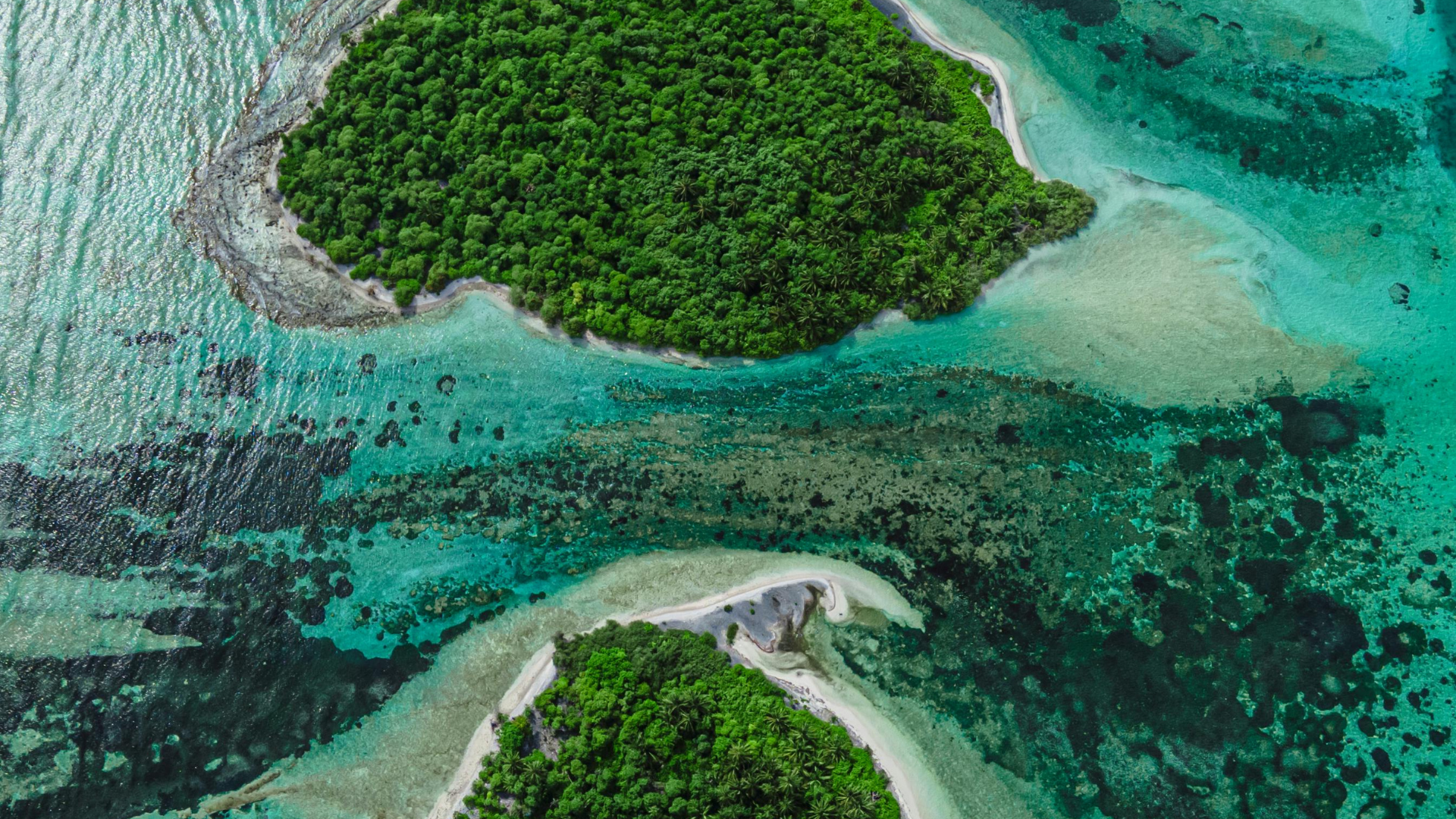
Photos by Faik Akmd from Pexels (this section)
and Asad Photos (previous section)
Join the next cohort and start working with ocean data where it already lives—in the cloud.
Apply practical workflows using real ocean datasets from day one.